EXCEL MAPS
An easy way to create maps from the comfort of your office document. Quickly create striking map visuals with your data and gain new location insights. Fully interactive maps react to your spreadsheet with no need for geographic expertise. Display mapped data as interactive, customisable points or Heatmaps. Geocoding functions mean that you can get the most out of your location data. Download in seconds as an AddIn for your existing Microsoft Excel®™ installation (Excel 2016+, Excel 2016 for Mac and Excel Online). Try now FREE
No experts required, Upskill Now!
*New*
Spatial Functions - Now with CO2e Calculator
GET THE ADD-IN HERE
Maps in Excel made easy

OR
Insert from Excel
Publish to the web
The map below was created and published to the web directly from Excel. Cases of COVID-19 as of June 12th 2020
(Source: GitHub Inc. Daily Report)
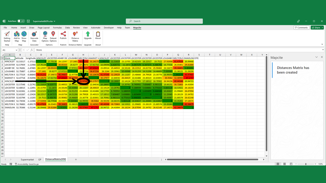
Distance Matrix
What is a distance matrix? In this case, it's a table that shows the distance between pairs of locations.
Spatial Functions
What are Spatial functions? Mathematical functions used to manipulate geographic locations. Examples include calculating the distance between two points, calculating the number of locations within a radius and CO2e.


